
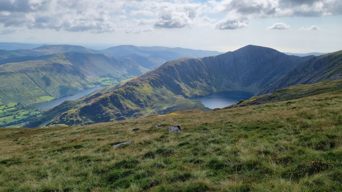
There is a particular moment on a British hill when the world shrinks to twenty metres of grey. The ridge you were following disappears, the path dissolves into wet grass, and the view that justified the climb becomes a soft white wall. It happens on Snowdon in a summer drizzle and on a Cairngorm plateau in a blizzard, and it happens to experienced walkers as often as beginners. What separates a calm day from a worrying one is not luck. It is whether you can answer two questions: where am I, and which way is the next point on my route?
In clear conditions we navigate mostly by sight. We spot a stile, a cairn, a distinctive crag, and drift towards it. Cloud removes all of that and replaces it with something more disorienting: the loss of a horizon. Without a horizon, people walk in circles, mistaking a gentle slope for level ground and a side path for the main one. Add wind and rain blowing you off line, and a route you have walked three times before can feel entirely new.
The skills that fix this are not exotic. They are map reading, compass work, and the humble business of counting your steps. Practise them on clear days and they become automatic when the cloud comes down.
Start with orientation. Fold the map to the section you need, then set it using the compass so that grid north on the paper matches the ground. Now features fall into place around you. If you can do only one thing with a compass, make it this.
Pacing turns your legs into an instrument. Count double paces — every time your left foot lands, that is one. Before you need it, calibrate yourself on a measured 100 metres, ideally on several surfaces.
Most adults, on level ground with a day pack, take roughly 60 to 70 double paces per 100 metres. Uphill it shortens; bog, heather and deep snow shorten it further. Write your own numbers on a card and keep it in your map case. Then, when you leave a summit cairn on a bearing, you can count off 300 metres with fair confidence rather than hoping.
Timing backs this up. A useful starting rule is 5 km per hour on the flat, plus one minute for every 10 metres of ascent, adjusting generously for rough ground, tired legs and heavy packs. If your watch and your steps disagree with your position, stop and work out why.
Take a bearing from the map, then hold the compass flat, with the direction of travel arrow pointing away from you. Turn your body until the red needle sits in the orienting arrow, then pick out the most distant object you can see on that line — a rock, a patch of vegetation, even a dark smudge in the mist — and walk to it. Repeat. This is far more accurate than staring at the compass while walking, because your body naturally veers.
Use a companion well. One person leads on the bearing while the other counts paces and watches the map. If you are alone and unsure, use a deliberate aiming off approach: aim slightly to one side of a feature such as a stream junction, so that when you hit the linear feature you know which way to turn. A deliberate error beats a random one.
You do not need a course to sharpen these skills, just a few short outings with a purpose.
Before you leave the car park, know your escape routes and your catching features. Carry a paper map and a baseplate compass even if your phone has an app, keep them accessible rather than buried, and protect them from the wet. Tell someone your route and your expected return. Check the mountain weather forecast, and be willing to turn around.
The cloud will still swallow the view sometimes. But with a map you trust, a compass you can use without thinking, and a pace count you have tested on real ground, you will walk through it steadily — arriving exactly where you intended, and probably enjoying the strange, quiet beauty of it more than you expected.

Hi, my name is Anthony kuber. I am artist and fashion designer.
I love to travel and writing blogging.
Your email address will not be published. Required fields are marked *
Software Developer & Writer
Hey, I'm Diva, a developer and writer blending code and creativity. I'm driven by a deep curiosity and a relentless pursuit of excellence. Join me as I craft digital solutions and captivating stories.


